


18,1 km | 34 km-effort

Usuario


Aplicación GPS de excursión GRATIS
 SityTrail
IGN / Institutos geográficos
SityTrail World
El mundo es suyo
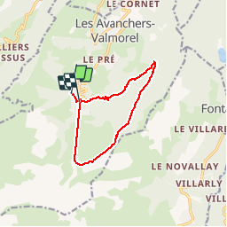
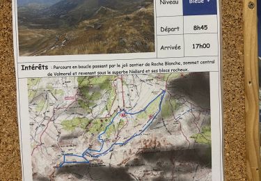
Ruta Senderismo de 10,4 km a descubrir en Auvergne-Rhône-Alpes, Saboya, Les Avanchers-Valmorel. Esta ruta ha sido propuesta por zazie.
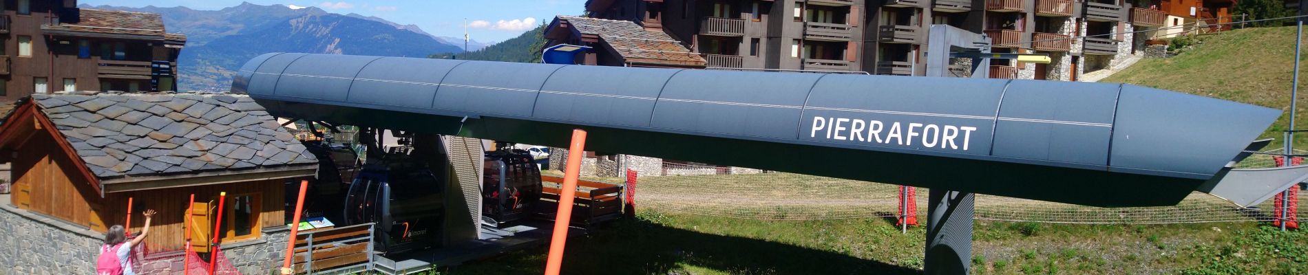
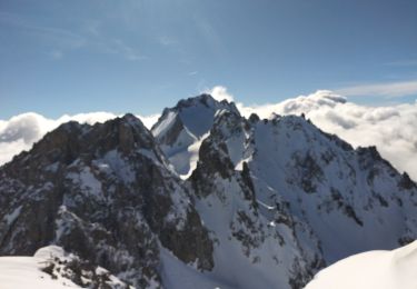
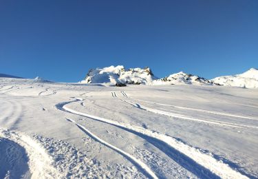
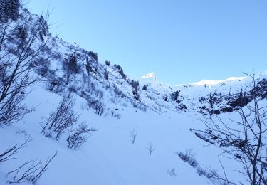
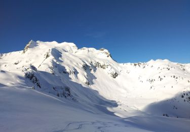
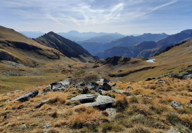
Montée par le télécabine Pierrafort, col de Gollet et retour par le refuge des Bachals.


Senderismo
Esquí de fondo
Esquí de fondo
Esquí de fondo
Esquí de fondo
Esquí de fondo
Senderismo
Senderismo
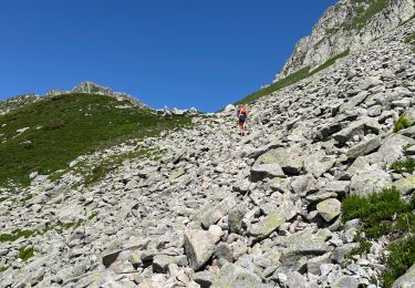
Senderismo